
How We Route an LED Billboard Truck Through Charlotte: Uptown to South End, SouthPark and Ballantyne
A real Charlotte route plan built around income, density, and day of week — not just highway traffic counts
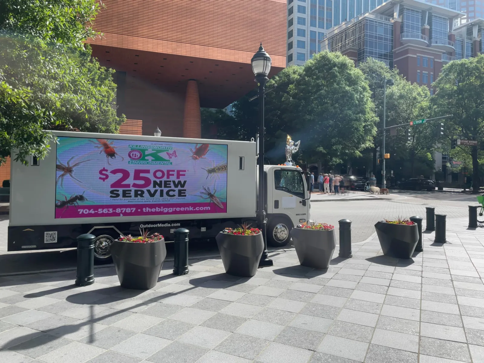
Killingsworth Environmental LED billboard truck campaign in Uptown Charlotte
Most mobile billboard route plans start with a traffic count map. That is how you end up parking a truck on a highway for four hours and calling it coverage. In Charlotte, the better question is simple: where does the client's customer actually live, shop, and sit in traffic on the day we are running?
This is the route logic we used for a Killingsworth Environmental pest control campaign in Charlotte — a home-services brand whose buyer is a suburban homeowner, not a commuter passing an auto dealership.
Start Uptown — but keep it brief
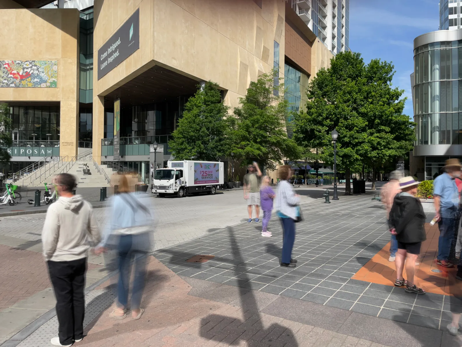
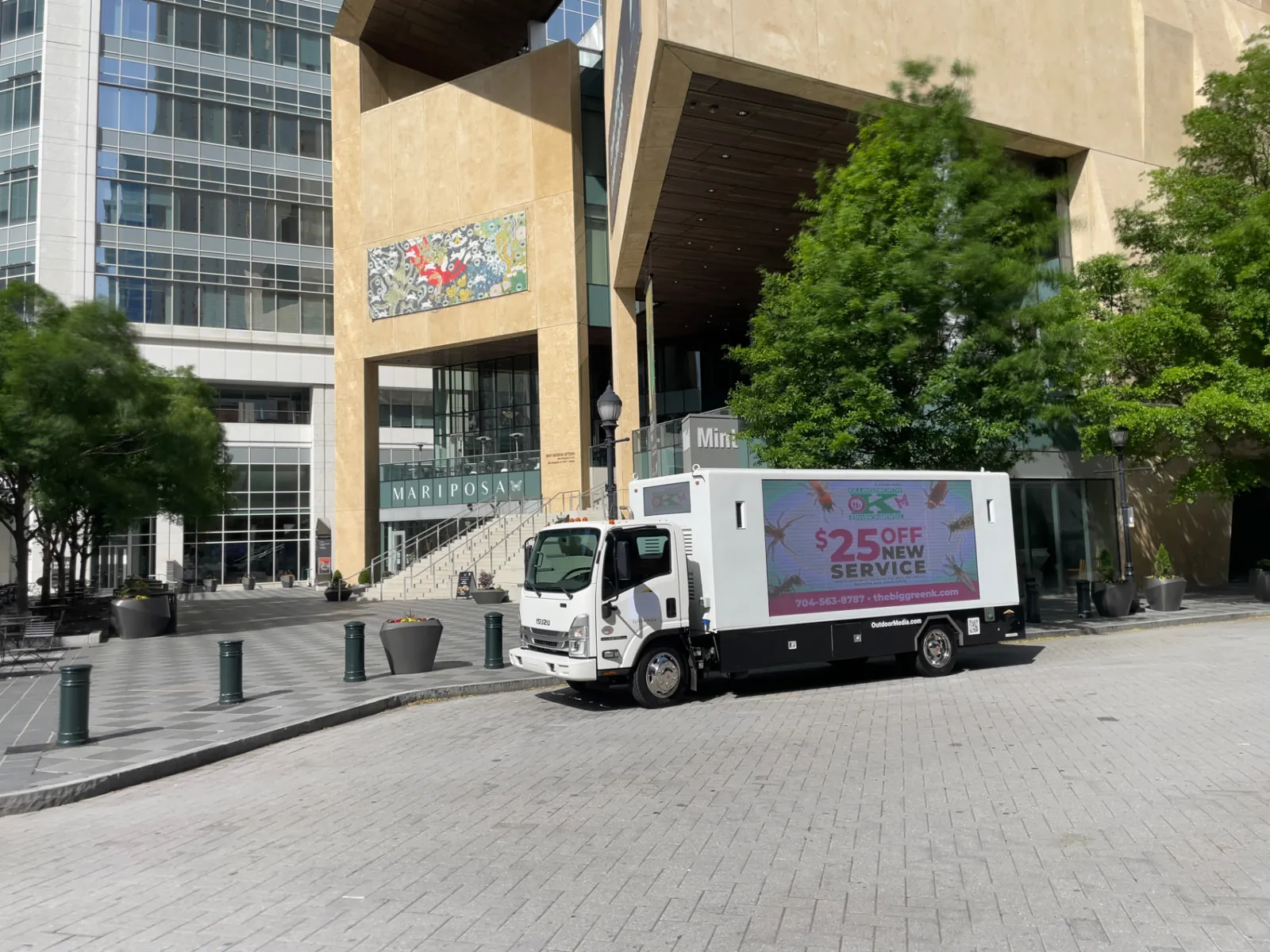
Uptown Charlotte is worth an opening loop, not an afternoon. Tryon Street, the Levine Center for the Arts, and the Mint Museum Uptown block deliver dense pedestrian exposure, valet lines, restaurant patios, and stopped traffic at Trade & Tryon. On a weekend morning you get gallery and museum crowds; on a weekday you get 100,000+ office workers.
But Uptown is a small footprint. Once the loop is done, the truck should move.
Drop south into South End
South End is the fastest-growing young-professional district in the metro: the Rail Trail, breweries, apartment towers, and South Boulevard retail. It is walkable, so an LED screen gets read at eye level rather than glanced at from 55 mph. This is a strong leg for offers, QR codes, and phone numbers.
Through Myers Park to SouthPark and Phillips Place
From South End, the route cuts through Myers Park — Charlotte's wealthiest residential area — on the way to SouthPark Mall and Phillips Place. For a home-services or premium-retail advertiser, this stretch is the single highest-value mile in the city. Tree-lined arterials, slow speeds, and a shopping district where the audience is already in spending mode.
Why we pull the truck off Independence Boulevard (US-74)
A lot of Charlotte route plans park heavily on US-74 / Independence Highway. It is defensible on a weekday: heavy commuter volume, long dwell in rush-hour backups. But it is the wrong call for a Sunday or weekend campaign, for three reasons:
- Traffic thins out. The corridor's value is commuter-driven, and weekends do not deliver the same volume.
- Land use is wrong. It is largely industrial, auto dealerships, and big-box retail — low residential density along the road.
- Audience mismatch. A homeowner-targeted offer needs to be seen near homes and neighborhood retail, not on a service road.
Highway volume is not the same thing as qualified impressions. We optimize for the second one.
South on Park Road, into Matthews, back via I-485
From SouthPark the route continues south on Park Road through Quail Hollow and Pineville into Matthews — established, high-income, owner-occupied neighborhoods with the local retail nodes those households use every week. The truck then loops back along I-485 and finishes the day in Ballantyne, one of Charlotte's largest and most affluent master-planned areas, timed for the evening return-home window.
The full Charlotte route, in order
- Uptown loop — Tryon Street, Levine Center for the Arts (short leg)
- South End — South Boulevard and the Rail Trail
- Myers Park — residential pass-through
- SouthPark Mall and Phillips Place — peak retail dwell
- Park Road south — Quail Hollow, Pineville
- Matthews — neighborhood retail
- I-485 loop west
- Ballantyne — evening close
What this means for your campaign
Day of week changes the map. A weekday B2B or recruiting campaign belongs on the commuter corridors — I-77, I-85, Independence in rush hour, Uptown at lunch. A weekend consumer campaign belongs south of town, where the households are. If a media partner hands you the same route regardless of the day you are buying, that is a red flag.
See our Charlotte mobile billboard market page for coverage details, or the mobile billboard advertising cost guide for pricing.
Frequently asked questions
What is the best mobile billboard route in Charlotte?
Start with a short Uptown loop, move south into South End, cut through Myers Park to SouthPark Mall and Phillips Place, continue south on Park Road through Quail Hollow and Pineville into Matthews, then return via I-485 and finish in Ballantyne.
Is Independence Boulevard good for mobile billboard advertising?
On weekdays, yes — it carries heavy commuter volume with long dwell in rush hour. On weekends it underperforms: traffic thins and the corridor is largely industrial, auto dealerships and big-box retail with little residential density.
Which Charlotte neighborhoods have the highest-income audiences?
Myers Park, SouthPark, Quail Hollow, and Ballantyne concentrate the metro's highest household incomes, with Phillips Place and SouthPark Mall as the retail anchors.
How much does an LED billboard truck cost in Charlotte?
Typically $800–$1,500 per truck per day depending on hours and routing, with lower daily rates on multi-day and multi-truck packages.
Does the route change by day of week?
Yes. Weekday B2B and recruiting campaigns favor commuter corridors like I-77, I-85 and Independence at rush hour. Weekend consumer campaigns should run south of Uptown through the residential and retail districts.